Fichier:Island of Ireland location map Donegal.svg

Taille de cet aperçu PNG pour ce fichier SVG : 481 × 599 pixels. Autres résolutions : 192 × 240 pixels | 385 × 480 pixels | 616 × 768 pixels | 822 × 1 024 pixels | 1 643 × 2 048 pixels | 1 450 × 1 807 pixels.
Fichier d’origine (Fichier SVG, nominalement de 1 450 × 1 807 pixels, taille : 642 Kio)
| Ce fichier et sa description proviennent de Wikimedia Commons. | Accéder au fichier sur Commons |
| Description |
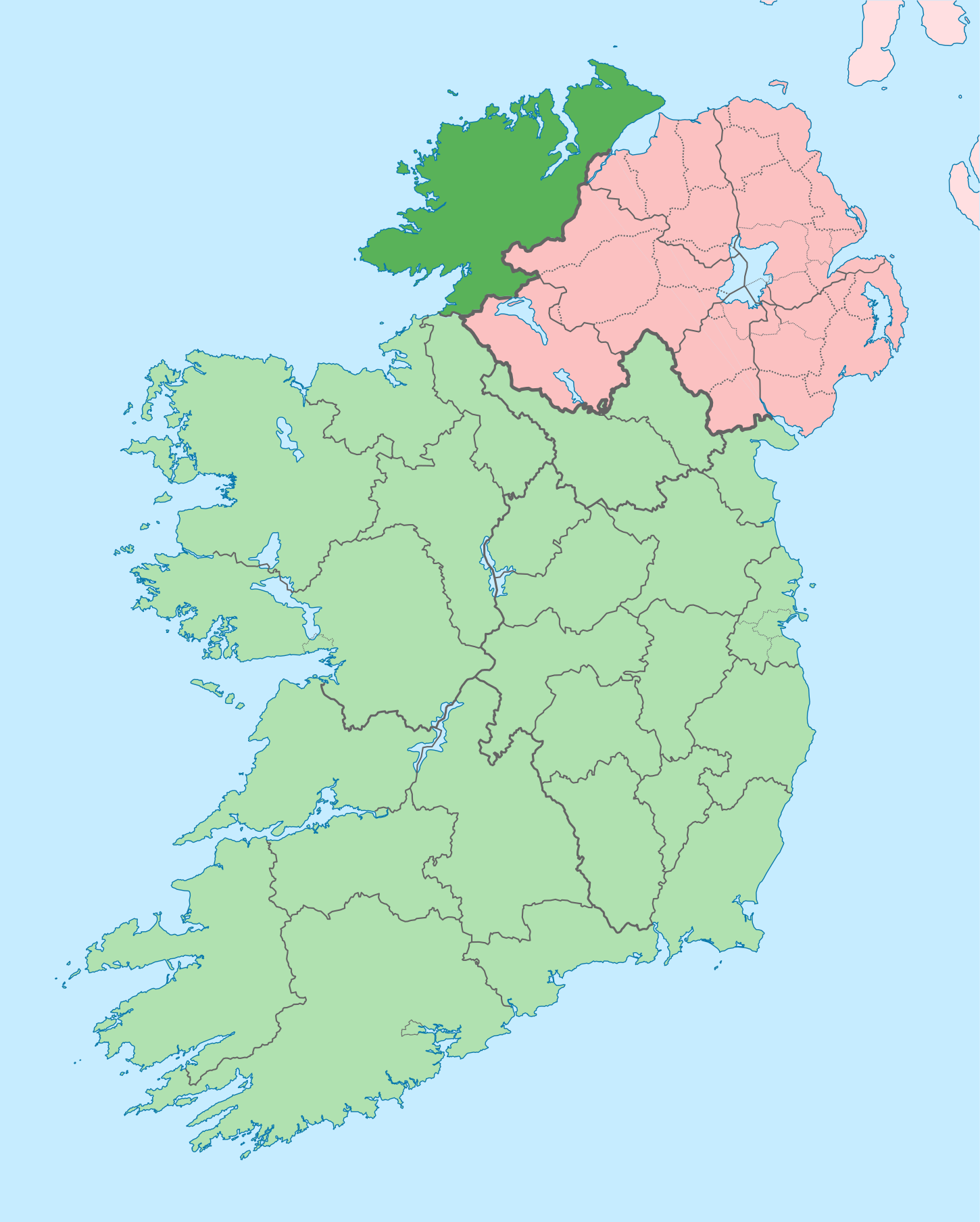
English: The island of Ireland, showing international border between Ireland and Northern Ireland, traditional provinces, traditional counties, and local authority areas in Ireland and Northern Ireland. |
| Date | (UTC) |
| Source | |
| Auteur |
|
| Cette image a été retouchée, ce qui signifie qu'elle a été modifiée par ordinateur et est différente de l'image d'origine. Liste des modifications : Coloured in regions with county of article highlighted. L'image d'origine se trouve ici : Island of Ireland location map.svg:
|
Moi, en tant que détenteur des droits d’auteur sur cette œuvre, je la publie sous la licence suivante :
Ce fichier est disponible selon les termes de la licence Creative Commons Attribution – Partage dans les Mêmes Conditions 3.0 (non transposée).
- Vous êtes libre :
- de partager – de copier, distribuer et transmettre cette œuvre
- d’adapter – de modifier cette œuvre
- Sous les conditions suivantes :
- paternité – Vous devez donner les informations appropriées concernant l'auteur, fournir un lien vers la licence et indiquer si des modifications ont été faites. Vous pouvez faire cela par tout moyen raisonnable, mais en aucune façon suggérant que l’auteur vous soutient ou approuve l’utilisation que vous en faites.
- partage à l’identique – Si vous modifiez, transformez, ou vous basez sur cette œuvre, vous devez distribuer votre contribution sous la même licence ou une licence compatible avec celle de l’original.
Journal des téléversements d’origine
This image is a derivative work of the following images:
- File:Island_of_Ireland_location_map.svg licensed with Cc-by-sa-3.0
- 2010-03-06T20:43:33Z Rannpháirtí anaithnid 1450x1807 (679207 Bytes) Fix incorrectly coloured isands.
- 2010-03-03T22:19:29Z Rannpháirtí anaithnid 1450x1807 (679744 Bytes) {{Information |Description={{de|Positionskarte von [[:de:Irland|Irland]]}} Quadratische Plattkarte, N-S-Streckung 170 %. Geographische Begrenzung der Karte: * N: 55.6° N * S: 51.2° N * W: 11.0° W * O: 5.0° W {{en|Location
Téléversé avec derivativeFX
Historique du fichier
Cliquer sur une date et heure pour voir le fichier tel qu'il était à ce moment-là.
| Date et heure | Vignette | Dimensions | Utilisateur | Commentaire | |
|---|---|---|---|---|---|
| actuel | 29 juin 2020 à 13:41 | | 1 450 × 1 807 (642 Kio) | Chipmunkdavis | Further edits per the Local Government Reform Act 2014, joining both Tipperarys and both Waterfords (and removing Limerick City code). Colouring in islands, cleaning up and grouping code to remove stray objects and show Galway and Lough Ree. |
| 6 mai 2016 à 03:49 |  | 1 450 × 1 807 (833 Kio) | Houdinipeter | to reflect the changes of the w:Local Government Reform Act 2014 | |
| 19 juillet 2010 à 00:43 |  | 1 450 × 1 807 (815 Kio) | Mabuska | {{Information |Description={{en|The island of Ireland, showing international border between Northern Ireland and Republic of Ireland, traditional provinces, traditional counties, and local authority areas in the Republic of Ireland and Northern Ireland.}} |
Utilisation du fichier
La page suivante utilise ce fichier :
Usage global du fichier
Les autres wikis suivants utilisent ce fichier :
- Utilisation sur ar.wikipedia.org
- Utilisation sur ast.wikipedia.org
- Utilisation sur bg.wikipedia.org
- Utilisation sur ca.wikipedia.org
- Comtat de Donegal
- Gaoth Dobhair
- Lifford
- Letterkenny
- Plantilla:Comtat Donegal
- Ballyshannon
- Buncrana
- Bundoran
- Ballybofey
- Carndonagh
- Donegal
- Na Rosa
- Cloch Cheann Fhaola
- Gort an Choirce
- An Fál Carrach
- Machaire Rabhartaigh
- Toraigh
- Baile na Finne
- Teileann
- Gleann Cholm Cille
- Carraig Airt
- Na Dúnaibh
- Cill Charthaigh
- Doirí Beaga
- Croithlí
- Oileán na Cruite
- Gabhla
- An Bun Beag
- Anagaire
- Ailt an Chorráin
- An Dúchoraidh
- Cionn Caslach
- Leitir Mhic an Bhaird
- Loch an Iúir
- Rann na Feirste
- An Clochán Liath
- Árainn Mhór
- Rathmullan
- Ramelton
- Milford (Donegal)
- Raphoe
- Inishowen
- Corredor de Donegal
- Killybegs
- Utilisation sur ceb.wikipedia.org
- Utilisation sur cs.wikipedia.org
- Utilisation sur en.wikipedia.org
Voir davantage sur l’utilisation globale de ce fichier.